
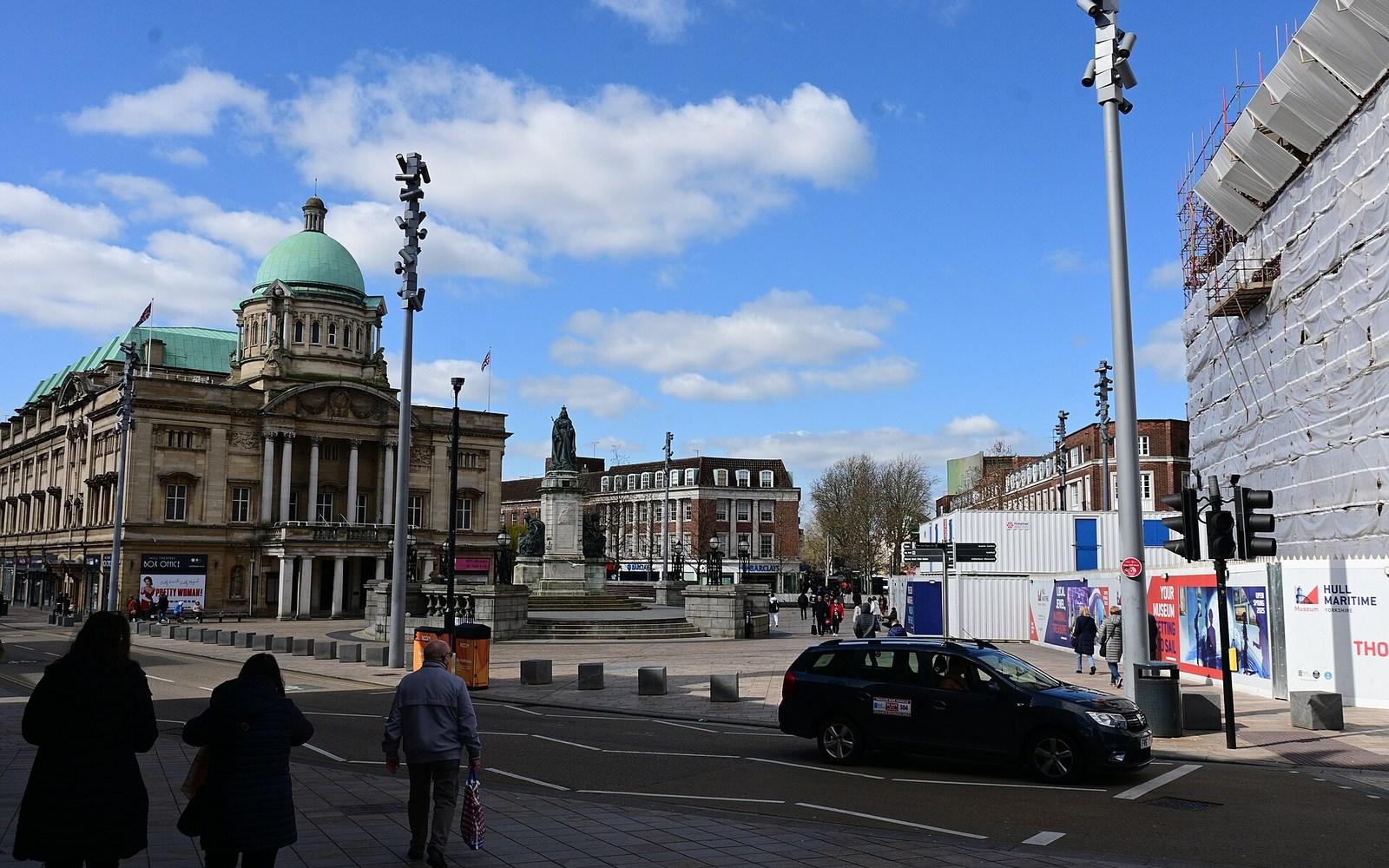
A city shaped by its rivers
Hull stands where the River Hull meets the Humber. Its full name, Kingston upon Hull, appears on official records, but Hull is the name most residents use. The Old Town, the docks and the routes out towards the East Riding all help explain how the city developed.
This directory starts with Hull businesses and includes nearby places such as Cottingham, Hessle and Anlaby. A listing’s address tells you where it is based; its description should explain the places it actually serves.
Start in the Old Town
High Street and the streets around Hull Minster reward a slower walk. Look for the narrow passages and historic buildings, then head towards the Museums Quarter or Trinity Square rather than treating the centre as one shopping street.
The Museums Quarter brings several different stories together, including transport, archaeology and the life of William Wilberforce. Check individual museum pages before planning several visits into one afternoon.
The Fruit Market and waterfront
Around Humber Street, former commercial buildings now sit alongside galleries, independent shops, cafés and restaurants. The marina is close enough to combine with an Old Town walk, while The Deep stands towards the mouth of the River Hull.
These are working city streets, not a single attraction with one opening time. If a particular shop, gallery or restaurant is the reason for your trip, check its own hours before setting off.
Neighbourhoods and nearby towns
The Avenues, Newland Avenue, Princes Avenue, Kingswood and Sutton-on-Hull have their own everyday businesses and meeting places. A useful local directory should help you find those connections as well as city-centre destinations.
Cottingham, Hessle and Anlaby are nearby East Riding communities, outside Hull City Council’s administrative area. For council services, use the authority responsible for your address rather than assuming every Hull postal address falls inside the city boundary.
Plan the journey around your destination
Hull Paragon Interchange brings rail and bus travel together on the west side of the centre. Many central places can be combined on foot, but a trip to a suburb or neighbouring town needs a separate route check.
Allow for waterfront weather and check accessible entrances directly with venues. For driving, current car-park signs and council information are more useful than an old price quoted in a guide.
Spotted something out of date? Let us know.